Hydrology Project In Uttarakhand by Geovale
Water is one of our most precious resources, nothing can live without it. Knowledge of the amount of water, its distribution and sustainable development over space and time, and its effects on the earth’s surface is what hydrology is about. The hydrology domain of Geovale Services is composed of highly skilled geologists, geophysicists, hydrologists, environmental scientists, remote sensing experts with significant global experience in hydrological and hydrogeological projects.
Geovale Services has presence in all the critical sections of hydrology chain to cater to the varied needs of production companies, agricultural demand, golf courses etc. It involves Micro-watershed analysis by ERDAS and ArcGIS, Hydrogeological mapping, Ground Water Exploration, Resource Assessment and Development, Aquifer Characterisation, Vertical Electrical Sounding (VES) and Electro-logging, Well Design, Step Drawdown Test (SDT) and Aquifer Performance Test (APT), Numerical modelling by MODFLOW, Water Chemistry Analysis by AQUACHEM, Sustainable Watershed Management, Rain Water Harvesting and Artificial Recharge and Hydrogeological Study in Mining Areas – like Dewatering and Subsidence Impact, Acid Mine Drainage etc.
Hydrology Project In Uttarakhand
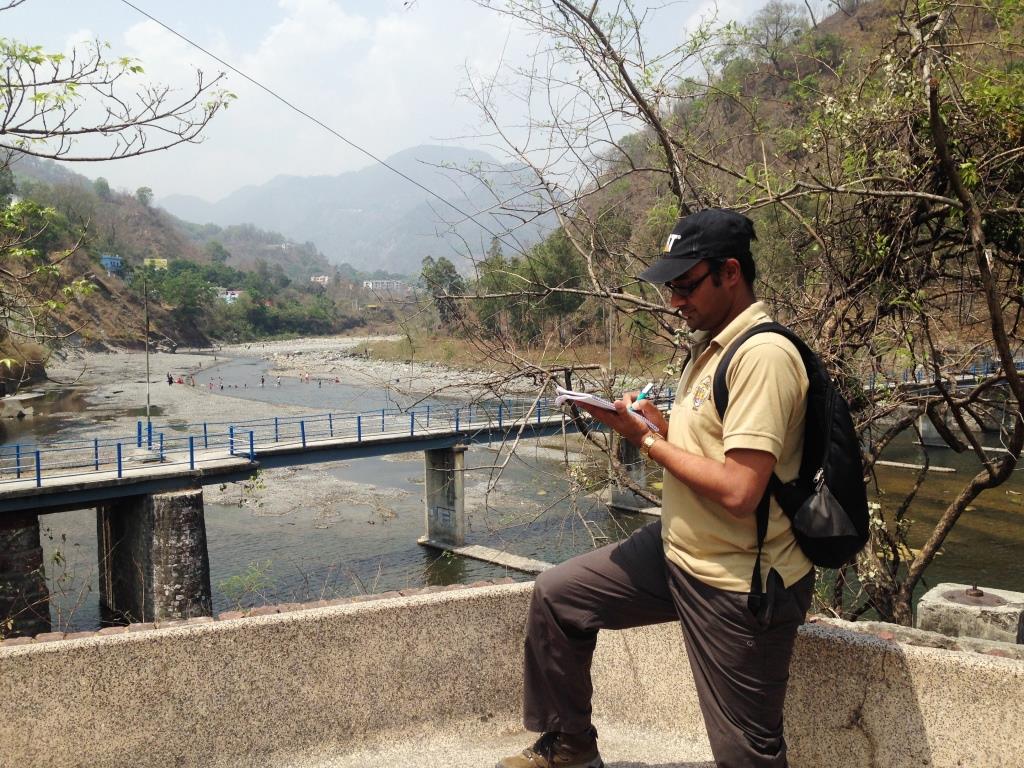
Geovale Services is currently handling a number of hydrology projects across the country with varied geographical range – hilly region of Lower Himalaya to the Gangetic alluvium plain. One of our recently delivered projects is from Uttarakhand. Our valued client is considering to establish an industrial Uttarakhand. They are keen to understand the available water budget in the region. Geovale Services has carried out a reconnaissance due diligence hydrological study to understand the hydrology of available water resources and find sustainable water availability for local large scale industrial use, without any significant impact on the community requirements. The objectives of the project are-
- A desktop and field based study of water accounting in and around the project site
- An assessment of water supply scenario by source
- Aquifer characterisation
- Identification of possible augmentation strategies
- To determine a viability of long term water security for all the stake holders in view of a proposed investment
The stage wise process adopted for reconnaissance due diligence of the hydrology of Lalkuan area is given below:
- Stage 1: Data collation from Survey of India, Central Ground Water Board, Research Institutes, Indian Meteorological Department, Public domain
- Stage 2: Remote sensing studies from AsterDEM and CartoDEM data by ERDAS and ArcGIS
- Stage 3: Field visit, geological & hydrological data collection, water chemistry and effluent chemistry from industrial areas data collection
- Stage 4: Data analysis
- Stage 5: Report preparation
The key findings regarding the aquifers from Bhabar and Tarai region of Himalayan foothills have been mentioned within the report. Our team has considered water table fluctuation over 40 km down slope, seasonal and decadal variation of temperature and rainfall data, drainage pattern and density, microwatershed boundary mapping, land use land cover pattern, aquifer characterization (unconfined, confined, artesian etc.) and its Transmissivity and yield, industrial and population growth etc. to quantitatively analyse the sustainability of water resources. The report has also highlighted the positive scenario for future investment, risks and recommendations to overcome.

Quick Links
