Geological Survey
A systematic examination of an area to determine the character, relations, distribution, and origin or mode of formation of its rock masses and mineral resources.
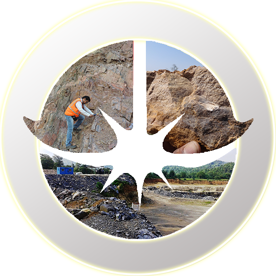
Geological surveying employs techniques from the traditional walk-over survey, studying outcrops and landforms, to intrusive methods, such as hand augering and machine-driven boreholes, to the use of geophysical techniques and remote sensing methods, such as aerial photography and satellite imagery.
Geological Survey is a broad spectrum of activities, that is incorporated to understand the character, relations, distribution and origin or mode of formation of rock masses and several mineral deposits.
These activities include:
- Geological Mapping
- Geochemical Survey
- Geobotanical Survey
- Remote Sensing and GIS
- Regional Borehole drilling
- Geophysical survey
- Hydrogeological survey

Quick Links
© Copyright 2020 Geovale. All Rights Reserved
